Urban and Regional Planning
Explore the basic concepts and philosophies of urban and regional planning, land use, zoning, and sustainable urban development with this unique certificate from UW-Eau Claire.
Explore Urban and Regional Planning
Though planning occurs across scale and sector, the urban and regional planning program emphasizes the spatial implications and relationships of land use activities and how place is linked to quality of life.
Since planning is highly interdisciplinary, the certificate's elective options are flexible. Depending on your goals, you can draw from multiple sub-fields of planning, including geographic, sociological, environmental, political and economic. The certificate provides a foundation for employment from public sector planning agencies to private sector planning firms, and it also supports students interested in planning-related graduate programs.
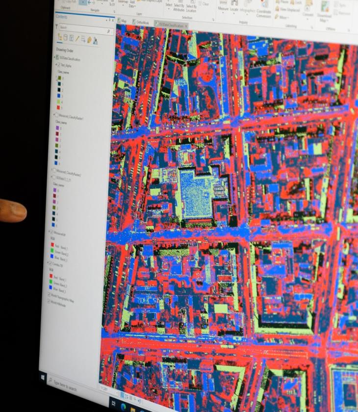
A major component of this certificate is designed to build your foundational knowledge of geographic information systems (GIS). You'll learn how to identify and process geospatial data representing geographic features of our world. With the use of state-of-the-art GIS technology, you'll analyze geospatial data representing the environmental, economic, socio-cultural, and political spheres of our world. Learn how to think spatially, produce maps, and communicate spatial information effectively.
Program Details
Blugold Stories
Justthe
facts
With curriculum designed by experts in their field, you'll find that every course offers invaluable knowledge. This 15-credit certificate pulls from a variety of disciplines, including economics, political science, sociology, public health and environmental studies, and psychology.
Here are a few courses in Urban and Regional Planning at UW-Eau Claire.
GEOG 270
Introduction to Urban and Regional Planning
Basic concepts and philosophies of urban and regional planning, land use, zoning, and sustainable urban development.
GEOG 335
Geographic Information Systems I
This course introduces the basic principles and concepts surrounding the use and application of Geographic Information Systems (GIS). Students will learn how to identify, organize, process, and analyze geospatial data representing geographic features of our world. With the use of state-of-the-art GIS technology, this course makes use of geospatial data representing the environment, economy, socio-cultural, political, and other spheres of our world. Moreover, students will learn how to think spatially, produce maps, analyze geospatial data, and communicate spatial information effectively.
GEOG 470
Urban Geography
Considers (1) cities as systems of service, trade, and manufacturing centers; (2) the internal structure of cities with emphasis on residential, commercial, and industrial patterns. North American urban places and solutions are stressed.
Get More Info
Sign up to receive additional information about our campus.


